Charting Collision Mesh Variations to Exploit Terrain Advantages in Multiplayer Vehicle Combat
Gisela Koch · Jun 9, 2026
Charting Collision Mesh Variations to Exploit Terrain Advantages in Multiplayer Vehicle Combat
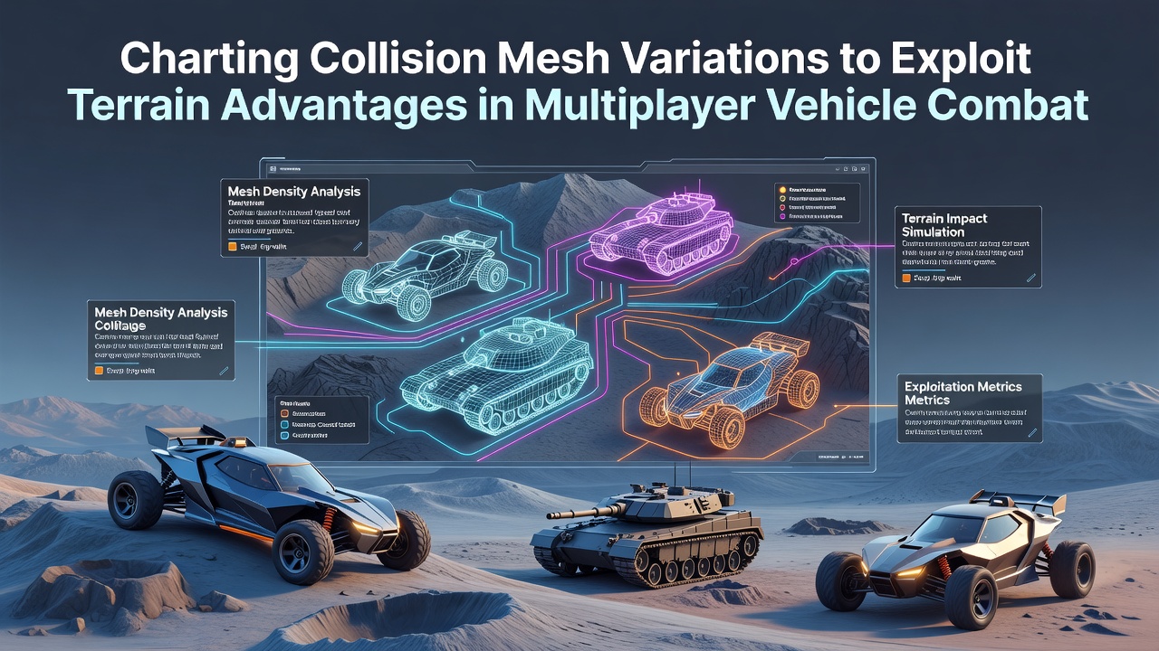
Collision meshes form the invisible geometry that governs vehicle interactions with environments in multiplayer combat titles, and developers map these structures to identify terrain features that provide tactical edges during matches. These meshes differ from visual models because they prioritize simplified polygons for physics calculations, which allows games to process impacts, friction, and movement constraints efficiently across networked sessions.
Engineers create low-poly approximations of hills, valleys, and obstacles, and variations arise when teams adjust vertex density or edge alignment to match specific gameplay needs. Data from physics engines reveals that coarser meshes reduce computational load during large-scale battles, whereas finer ones capture subtle slopes that influence vehicle handling and projectile trajectories.
Core Principles of Mesh Construction
Teams begin mesh construction by importing level geometry into tools like those in Unreal Engine or Unity, then they simplify surfaces while preserving key collision points. Researchers at institutions such as the University of Alberta have documented how edge cases in mesh topology affect vehicle rollover risks on uneven ground, and these findings guide adjustments that prevent exploits in competitive play.
Variations often include layered meshes for different vehicle classes, so lighter reconnaissance units register collisions differently than heavy tanks on the same slope. This layering supports balanced encounters where terrain advantages shift based on chosen loadouts rather than uniform physics rules.
Terrain Feature Mapping Techniques
Charting starts with automated scanning scripts that sample mesh vertices against height maps, and analysts then overlay combat data logs to correlate successful flanking routes with specific mesh configurations. Observers note that ridges with inward-facing normals create natural cover pockets, while outward slopes expose vehicles to crossfire from elevated positions.
Multiplayer synchronization requires consistent mesh replication across clients, and discrepancies in how servers handle edge collisions can lead to desync events during high-speed maneuvers. Developers address this through deterministic simulation layers that lock mesh properties at match start, ensuring every participant experiences identical terrain responses.
Strategic Exploitation in Live Matches
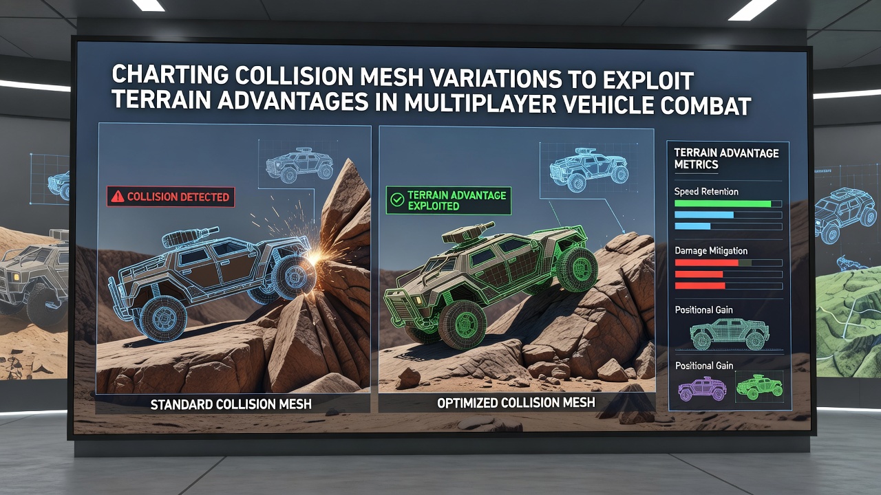
Players and analysts review replays to identify mesh variations that reward precise pathing, such as narrow chokepoints where reduced friction allows controlled drifts into cover. Studies from the Entertainment Software Association indicate that terrain-aware positioning accounts for measurable win-rate differences in vehicle-focused modes, particularly when teams coordinate around elevation changes.
Charting tools export heatmaps that highlight high-value zones, and these visualizations incorporate factors like mesh curvature combined with vehicle acceleration curves. European Games Developer Federation reports from 2025 detail similar practices in European studios, where custom scripts flag meshes that inadvertently create unintended shortcuts during updates.
Advanced Charting Workflows
Workflows integrate raycasting sweeps across mesh surfaces to simulate projectile paths, and teams compare results against historical match statistics to refine advantage predictions. This approach reveals how small vertex shifts alter ricochet angles, turning defensive positions into offensive opportunities in subsequent patches.
As of June 2026, several major titles have incorporated real-time mesh analysis plugins that flag anomalies during live playtests, allowing rapid iteration before public releases. These plugins draw from academic work on computational geometry to automate detection of exploitable seams between adjacent terrain pieces.
Case Examples from Released Titles
One studio applied detailed charting to a desert arena map and adjusted mesh normals on dune faces, which shifted vehicle traction patterns and reduced dominant spawn camping. Another project focused on urban combat zones where building foundation meshes were varied to create ramp-like collisions, enabling aerial vehicle launches that teams used for surprise attacks.
Cross-referencing these changes with player telemetry shows consistent patterns where mesh-aware strategies outperform raw aim skill in prolonged engagements. Such data drives balance patches that redistribute terrain advantages across different maps and modes.
Conclusion
Charting collision mesh variations provides developers and analysts with concrete methods to shape multiplayer vehicle dynamics through terrain manipulation. Ongoing refinements in mesh processing continue to influence how advantages emerge and evolve within competitive environments, supported by research from diverse global sources including the European Games Developer Federation. These practices remain central to maintaining fair yet dynamic combat experiences across evolving game platforms.